Lichfield City Council Open Spaces Mapping
Please note that public rights of way are included on this map, not all of which are maintained by the City Council. Further detail is available by clicking on each path/area of land.
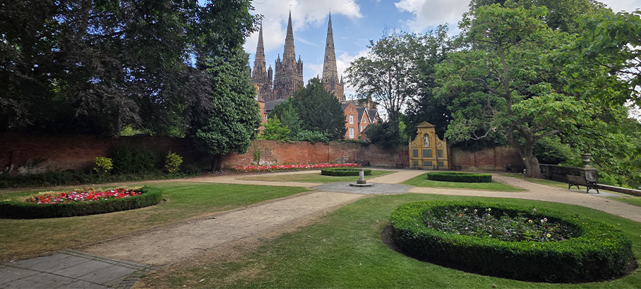
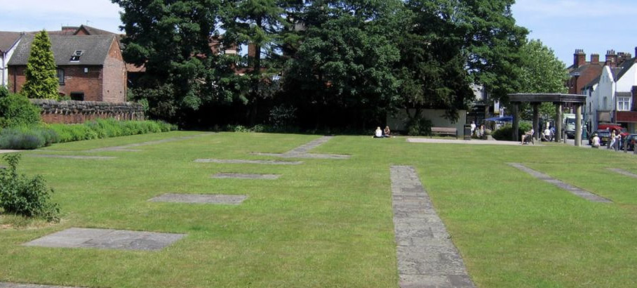
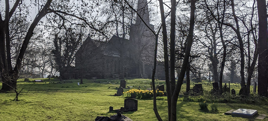
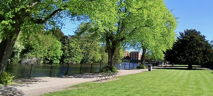
We maintain some 65 acres of public open space, including Festival Gardens, Pool Walk, Remembrance Gardens, and the ‘closed’ churchyards at St Michael’s and St Chad’s churches. Included within these areas are three listed buildings: the Friary clock tower, the Borrowcop Gazebo, and Chancellor Law’s mausoleum.
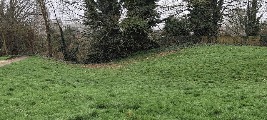
Two areas are scheduled ancient monuments: the Friary remains site and Prince Rupert’s Mound.
We look after some 6,250 metres of footpaths, including the lighting on these paths (these are footpath links through estates, not the pavements at the side of the road). We are responsible for several bus shelters in the City (but not those in the bus station) and for various public seats.
We also cut the highway verges in the City on behalf of Staffordshire County Council.
It is possible to hire some City Council owned land for events, the most popular of which is Minster Pool Walk. If you are interested in hiring land owned by the City Council, please contact our Markets team.
The City Council’s parks and open spaces areas are supervised and inspected by our Open Spaces Officer, Nigel Boden.